Translate

Tuesday, July 30, 2013

It is not the Destination, it is the Journey

July 21, 2013
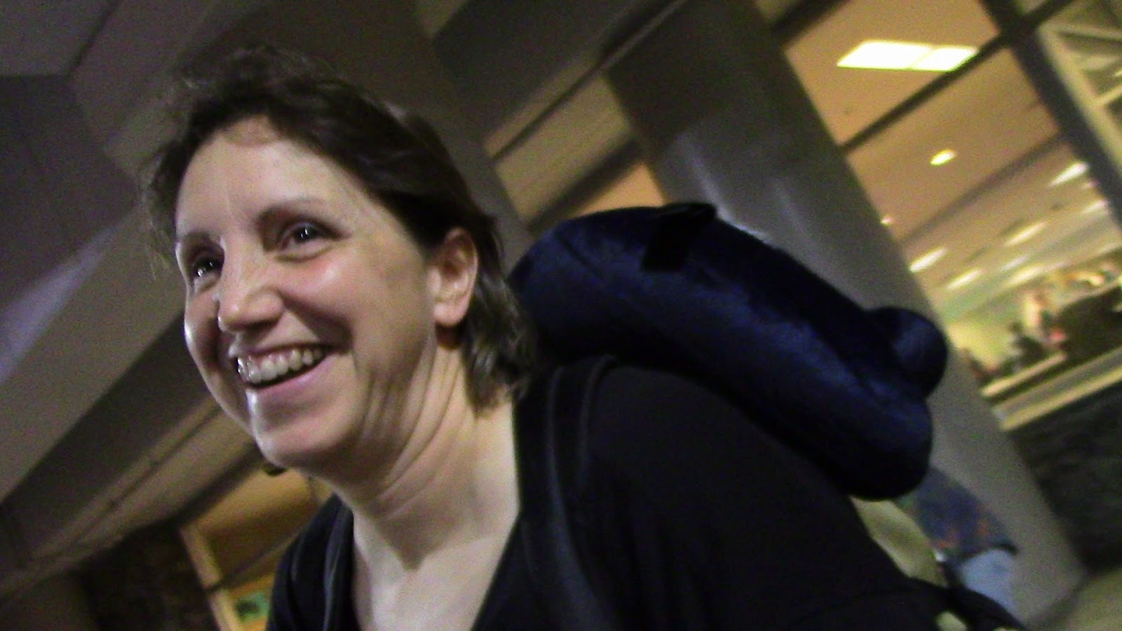
Sunday I received a text from Lisa at 1:10am stating she had landed and was awaiting a gate assignment.  I could feel the anticipation building and couldn’t wait to hold my sweetheart in my arms once again.  I inched my way closer to the gate as I estimated when they could disembark and get to baggage claim.  Then the moment arrived…My lovely wife and mother-in-law wheeling their baggage.  I captured the meeting on my video camera and we took off for PALMER in the twilight. 

                                                  A long time since I kissed those lips
                                    
                                                                 I'm a happy hubby

We slept until 10ish and had a brunch before I made an executive decision to visit Hatcher Pass.  We drove 20 miles or so, north of WASILLA/PALMER on a winding paved road to the base of Hatcher Pass.  It was not just me driving “old man” in this spectacular country but I did get passed a lot by impatient vehicles.  They missed so much as the sped by.  The last few miles were a narrow winding dirt road, no guard rails and very washboardy.  I punished my passengers in the one ton pickup.  I had the suspension torqued up for the Raptor so Oma had to stay seat belted or else she’d bounce up and hit her head.  It was fun and the view matched the journey’s sites.  During the drive I used the truck’s computer to check mileage and this may help describe the incline and decline to Hatcher Pass.  On a relatively flat roadway I average 22.5 mpg without the Raptor (10 mpg with) but driving up hill the truck got 12 mpg but a whopping 37 mpg returning to PALMER.  Elevation change was 239 feet (PALMER) to 3886 feet (HATCHER PASS).

                                               This is MY valley and MY trout stream
                                                                      Hatcher Pass

                     Hatcher Pass snow pack complete with beautiful wife and loving husband

Once we returned to PALMER it was dinner time and I got to enjoy a burger and “endless” fries at WASILLA’s Red Robin.  I would pay later for the “endless” saturated fat.  Just outside the restaurant sat an Alaskan motor coach.


July 22, 2013
Monday is a travel day for us but before leaving we meet an interesting Alaskan.  John is a retired school teacher/environmental engineer/artist and third generation Alaskan.  John was the guy who drew the border of the 1989 Exxon Valdez Oil Spill and studied the environmental impact of said spill.  He also received calls from the U.S. Senate during the Gulf Spill (2010).  John had good sightseeing suggestions for the Kenai, especially near Anchor Point.  We could do morning and afternoon volcano and mountain viewing, sapphire hunting on the beach, and visit the studio of local artist Norman Lowell. 

Then it was off for the KENAI Peninsula (south of Anchorage).  We filled my need for pizza at a Sicily’s Pizza buffet in south ANCHORAGE.  I was a good boy and didn’t keep Lisa and Carol too long…only nine pieces of pizza, three of fried chicken, egg custard, cantaloupe, three root beer and soft serve chocolate ice cream for desert.  Don’t roll your eyes at me; I had to get my $9.99 share.  We did walkthrough at Sportsman’s Warehouse of the Seward Highway.  It is great eye candy for the outdoors person and similar to a Cabela’s, Bass Pro or Gander Mountain.  This store had ALASKA stuff in great supply. 

We kissed the city goodbye and headed toward Homer on the Seward Highway.  We had to go around the Turnagain Arm, past GIRDWOOD into the KENAI.  Sea level driving surrounded by 2500 foot peaks didn’t last too long but as the road increased elevation, so did the peaks, 3200 foot, 4000 foot and so on.  We stopped for a quick look at the Kenai River.  No motors allowed in this section of the world famous river and the water was an amazing turquoise and COLD.  It got an un-photographed memory of a moose in a pond and a sight of fishermen standing side by side in what is called, “Combat Fishing.”  Up and down, around and around we wound our way to the west end of the peninsula, through SOLDOTNA, NINILCHIK, to ANCHOR POINT and the Kyllonen RV Park.  This would be home for two nights and be base camp for a day trip to HOMER.

We dined in the Raptor then headed to the ocean/Cook Inlet for some beachcombing.  The beach was experiencing low tide but also has a very shallow landing for boats.  They had conquered the need to launch boats and utilized tall wheeled tractors.  I checked the clock and it read “moose-thirty” so we headed inland to spot the creatures if they were around.  Blessings and good fortune had us eyeing a cow and calf minutes later, then a second lone cow.  It is fun watching Lisa photograph.  Digital camera, smart phone and iPad ALL have to get the same or similar shot.  Apparently the technology to share images has not been developed yet…  As will be the result of a day’s travel, sleep was welcomed.


July 23, 2013
A relaxing morning of sorts but we headed south to HOMER on the Sterling Highway around 11:00am.  Another winding road with glimpses across Cook Inlet at Mt Redoubt (10,197 feet, active) and Mt Iliamna (10,016 feet, glacier covered), stratovolcanoes on the west side of the inlet.  HOMER has the Homer Spit, a thread of land at the mouth of Kachemak Bay.  Homer has been home to Tom Bodett (Motel 6, “We’ll leave the light on for you”), Grammy winner, Jewel and the Kilcher Family (Alaska: The Last Frontier on Discovery Channel).  Side note: Jewel’s daddy is Atz Kilcher and niece of Otto Kilcher, the show’s primary figures.

The Spit is a maritime tourist attraction with artists, crafts, food, etc. at tourist prices but does serve other purposes as a break wall to the Bay and hub for the Alaska Marine Highway system.  The mountains south contain glaciers from the Harding Ice Fields, an ice field that stretches to Seward but those to the north and east are green up to 2500 feet (alpine starts) with small patches of snow in the gorges.  We dined at a Thai restaurant then returned to ANCHOR POINT.  An afternoon drive on the beach yielded great looks at a mature Bald Eagle and the volcanoes across the inlet.  I beach combed for sapphires but did not find what I thought was a sapphire, oh well.  I tossed the pale yellow stones back on the beach and headed home.

Homer Spit
Mt Iliamna

July 24, 2013
Hitch up the wagon and off to Seward.  The ride was the same but different…I got to see the other side of the roadside this time.  Apparently I pushed the vehicle and my luck too hard trying to save pennies and ran out of diesel fuel in the turn lane of the Sterling Highway at a gas station in SOLDOTNA.  So close, five gallons later and the bugger wouldn’t start.  Lisa read quickly from the Owner’s Manual and finally with the assistance of the station owner it fired up.  My hands reeked of diesel so Lisa was allowed control for the first time but relinquished the pilot seat after the fill-up.  She makes a GREAT co-pilot as most of you know. 

On the Seward Highway, near MOOSE PASS we stopped for a wildlife viewing.  A family from Indiana was stopped too and one of the girls (early 20’s) was sharpening a stick and testing it out.  We all would be viewing spawning Sockeye Salmon and it is also attractive to the local Ursus population.  I was donning my .357 while listening to her dad question her why she carried it.  She replied, “Bears!”  I said that all she’d have to do is outrun the slowest in her family and her dad replied, “She is the slowest that’s why she needs the stick.”  She noticed my holster and tossed her stick.  “Where’s your stick?” Dad asked.  “I’m following him!” she replied nodding toward me.  The following 150 yards was a well-worn path complete with tourist tripping tree roots and flies.  Hakuna Matata: tree trips tourist, bear eats tourist, flies consume scraps, and the rest decomposes and feeds the trees.  That is the Circle of Life Alaskan-style.  The narrow stream held over fifty Red/Sockeye salmon, in different states of the spawning cycle.  Bucks protected their gravel from other bucks and would position themselves behind (downstream) of their hen.  The hen would go on her side and flex, spilling eggs which triggered the buck to fertilize them with his milt (sperm).  Indiana mom was full of questions and I offered what answers I could.  Audience interest appeared to wane after 30 minutes so we walked back and handed out smoked Red Salmon to our Indiana family.  They enjoyed it and I received key fobs from dad, Indiana State Police.  Our world is a paradigm as you look at how small we are looking at the mountains or endless ocean then stop to talk with another person and they share common interests, job or acquaintances. 

About 4 miles from downtown SEWARD we found Stoney Creek RV Park and set-up for another two night stay.  It was packed and we were assigned site #1.  Site #1 is usually not the most desirable site in a campground.  It is located at the entrance/exit and EVERYONE passes by you.  We made do as it was intended for sleeping anyway.  An afternoon drive along the west shore of Resurrection Bay ended at Seward Brewing Company for a pint of their stout.  It did a fine job representing a dry stout, with decent coffee and chocolate undertones but I prefer a longer mouth feel and the flavor was a bit fleeting.  Haze and clouds began settling in and that could throw a damper in outdoor activities tomorrow.


A Sockeye buck tending his bed
 Hen contorting her body to release her eggs


No comments:

Post a Comment